Riverside Carrog from the river bridge.
Introduction
The photograph on this page of Riverside Carrog from the river bridge. by John Haynes as part of the Geograph project.
The Geograph project started in 2005 with the aim of publishing, organising and preserving representative images for every square kilometre of Great Britain, Ireland and the Isle of Man.

There are currently over 7.5m images from over 14,400 individuals and you can help contribute to the project by visiting https://www.geograph.org.uk
Riverside Carrog from the river bridge.
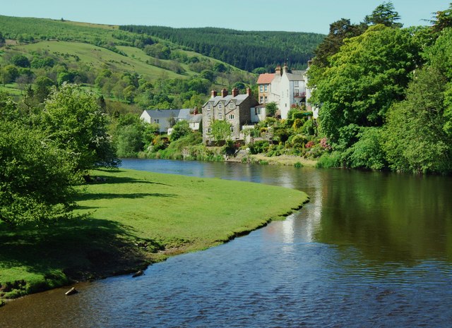
Image: © John Haynes Taken: 24 May 2009
These houses used to have a road this side but it was lost to Afon Dyfrdwy and had to be replaced behind the houses.
Images are licensed for reuse under creativecommons.org/licenses/by-sa/2.0
Image Location
Latitude
52.981392
Longitude
-3.321981