Monarch's Way
Introduction
The photograph on this page of Monarch's Way by Simon Carey as part of the Geograph project.
The Geograph project started in 2005 with the aim of publishing, organising and preserving representative images for every square kilometre of Great Britain, Ireland and the Isle of Man.

There are currently over 7.5m images from over 14,400 individuals and you can help contribute to the project by visiting https://www.geograph.org.uk
Monarch's Way
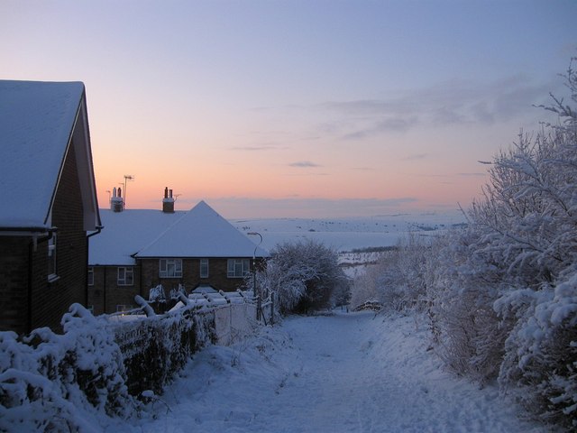
Image: © Simon Carey Taken: 7 Jan 2010
Long distance footpath skirting the northern end of Hangleton where it will meet and join with the Dyke Railway Trail in the dip below. Mount Zion is the hill in the distance.
Images are licensed for reuse under creativecommons.org/licenses/by-sa/2.0
Image Location
Latitude
50.855227
Longitude
-0.196218