Black Horse Hill, Tetbury
Introduction
The photograph on this page of Black Horse Hill, Tetbury by Derek Harper as part of the Geograph project.
The Geograph project started in 2005 with the aim of publishing, organising and preserving representative images for every square kilometre of Great Britain, Ireland and the Isle of Man.

There are currently over 7.5m images from over 14,400 individuals and you can help contribute to the project by visiting https://www.geograph.org.uk
Black Horse Hill, Tetbury
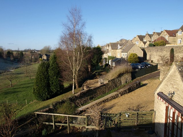
Image: © Derek Harper Taken: 3 Jan 2010
A view from Bath Bridge at the southern edge of the town, with the valley of a headwater of the Avon on the left. Black Horse Hill, the old road to Bath, is the walled lane in the foreground, climbing towards the rear of West Street.
Images are licensed for reuse under creativecommons.org/licenses/by-sa/2.0
Image Location
Latitude
51.635336
Longitude
-2.161636