Benfield Hill
Introduction
The photograph on this page of Benfield Hill by Simon Carey as part of the Geograph project.
The Geograph project started in 2005 with the aim of publishing, organising and preserving representative images for every square kilometre of Great Britain, Ireland and the Isle of Man.

There are currently over 7.5m images from over 14,400 individuals and you can help contribute to the project by visiting https://www.geograph.org.uk
Benfield Hill
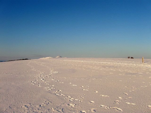
Image: © Simon Carey Taken: 7 Jan 2010
The peak of the hill contains four holes of Benfield Valley Golf Course and a local nature reserve set up by the council in 1993. The greens were once part of West Hove Golf Course prior to the construction of the Brighton by-pass who then relocated to the valley to the east.
Images are licensed for reuse under creativecommons.org/licenses/by-sa/2.0
Image Location
Latitude
50.855513
Longitude
-0.208994