Rooftops, church steeple and the Cheviots
Introduction
The photograph on this page of Rooftops, church steeple and the Cheviots by Steven Oliver as part of the Geograph project.
The Geograph project started in 2005 with the aim of publishing, organising and preserving representative images for every square kilometre of Great Britain, Ireland and the Isle of Man.

There are currently over 7.5m images from over 14,400 individuals and you can help contribute to the project by visiting https://www.geograph.org.uk
Rooftops, church steeple and the Cheviots
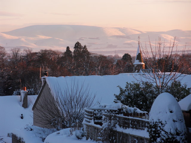
Image: © Steven Oliver Taken: 8 Jan 2010
Taken from the top end of Glebe Park in Duns as the low winter sun catches the Cheviot Hills. The Cheviots are some 20 miles to the south of Duns and the effect was achieved using a zoom lens.
Images are licensed for reuse under creativecommons.org/licenses/by-sa/2.0
Image Location
Latitude
55.774348
Longitude
-2.344294