Public bridleway at Eaton Grange
Introduction
The photograph on this page of Public bridleway at Eaton Grange by Kate Jewell as part of the Geograph project.
The Geograph project started in 2005 with the aim of publishing, organising and preserving representative images for every square kilometre of Great Britain, Ireland and the Isle of Man.

There are currently over 7.5m images from over 14,400 individuals and you can help contribute to the project by visiting https://www.geograph.org.uk
Public bridleway at Eaton Grange
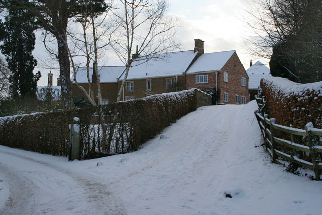
Image: © Kate Jewell Taken: 9 Jan 2010
The entrance to Eaton Grange, (house with tall chimneys in the background), is to the left and the bridleway follows the farm road past the converted estate house and coach house to Image
Images are licensed for reuse under creativecommons.org/licenses/by-sa/2.0
Image Location
Latitude
52.851248
Longitude
-0.807676