Noak Bridge Reserve Path
Introduction
The photograph on this page of Noak Bridge Reserve Path by Glyn Baker as part of the Geograph project.
The Geograph project started in 2005 with the aim of publishing, organising and preserving representative images for every square kilometre of Great Britain, Ireland and the Isle of Man.

There are currently over 7.5m images from over 14,400 individuals and you can help contribute to the project by visiting https://www.geograph.org.uk
Noak Bridge Reserve Path
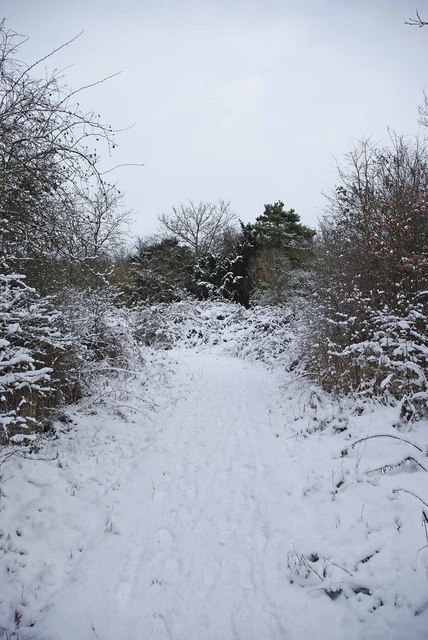
Image: © Glyn Baker Taken: 9 Jan 2010
This path is in Image for more info see http://nbnrs.noakbridge.net/ or http://www.basildon.gov.uk/index.aspx?articleid=2409 The cold would have stopped play if my camera had required a fancy power pack. Four sets of NiMH batteries refused to function due to the cold after this shot. However after a visit to the shop in Image to buy a nice warm set of alkaline AA cells Geographing could continue!
Images are licensed for reuse under creativecommons.org/licenses/by-sa/2.0
Image Location
Latitude
51.588972
Longitude
0.456644