The B2114 changes name
Introduction
The photograph on this page of The B2114 changes name by Robin Webster as part of the Geograph project.
The Geograph project started in 2005 with the aim of publishing, organising and preserving representative images for every square kilometre of Great Britain, Ireland and the Isle of Man.

There are currently over 7.5m images from over 14,400 individuals and you can help contribute to the project by visiting https://www.geograph.org.uk
The B2114 changes name
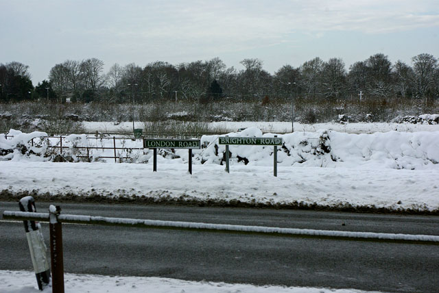
Image: © Robin Webster Taken: 9 Jan 2010
Presumably because north of here was the way to Brighton from Pease Pottage, and south of here was the way to London from Handcross.
Images are licensed for reuse under creativecommons.org/licenses/by-sa/2.0
Image Location


Leaflet Map data © OpenStreetMap
Latitude
51.067748
Longitude
-0.202813