English Close
Introduction
The photograph on this page of English Close by Simon Carey as part of the Geograph project.
The Geograph project started in 2005 with the aim of publishing, organising and preserving representative images for every square kilometre of Great Britain, Ireland and the Isle of Man.

There are currently over 7.5m images from over 14,400 individuals and you can help contribute to the project by visiting https://www.geograph.org.uk
English Close
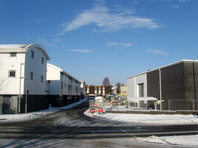
Image: © Simon Carey Taken: 7 Jan 2010
Small cul-de-sac off Old Shoreham Road filled with business units and Hove Fire Station. Prior to the early 1960s this area was a market garden and nursery.
Images are licensed for reuse under creativecommons.org/licenses/by-sa/2.0
Image Location
Latitude
50.838868
Longitude
-0.191025