Llechwedd view
Introduction
The photograph on this page of Llechwedd view by Jonathan Wilkins as part of the Geograph project.
The Geograph project started in 2005 with the aim of publishing, organising and preserving representative images for every square kilometre of Great Britain, Ireland and the Isle of Man.

There are currently over 7.5m images from over 14,400 individuals and you can help contribute to the project by visiting https://www.geograph.org.uk
Llechwedd view
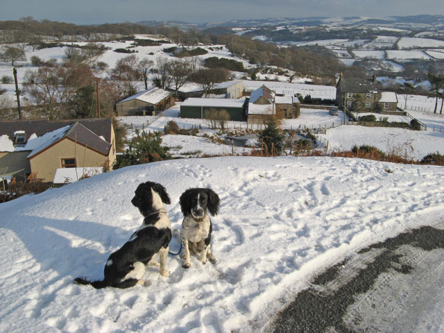
Image: © Jonathan Wilkins Taken: 9 Jan 2010
The cluster of farm and houses known as Llechwedd (hillside) are seen from the steep and twisting track which ascends westwards from the road. In the distance the valley of the Afon Gyffin runs parallel to the main Conwy Valley.
Images are licensed for reuse under creativecommons.org/licenses/by-sa/2.0
Image Location
Latitude
53.267357
Longitude
-3.860405