Swinton Avenue
Introduction
The photograph on this page of Swinton Avenue by Robert Murray as part of the Geograph project.
The Geograph project started in 2005 with the aim of publishing, organising and preserving representative images for every square kilometre of Great Britain, Ireland and the Isle of Man.

There are currently over 7.5m images from over 14,400 individuals and you can help contribute to the project by visiting https://www.geograph.org.uk
Swinton Avenue
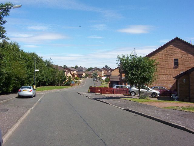
Image: © Robert Murray Taken: 8 Aug 2005
Built in the 1980s the developer tagged the area as 'Rowanbank' but locals call it Swinton.
Images are licensed for reuse under creativecommons.org/licenses/by-sa/2.0
Image Location
Latitude
55.853908
Longitude
-4.102226