Goldstone Lane
Introduction
The photograph on this page of Goldstone Lane by Simon Carey as part of the Geograph project.
The Geograph project started in 2005 with the aim of publishing, organising and preserving representative images for every square kilometre of Great Britain, Ireland and the Isle of Man.

There are currently over 7.5m images from over 14,400 individuals and you can help contribute to the project by visiting https://www.geograph.org.uk
Goldstone Lane
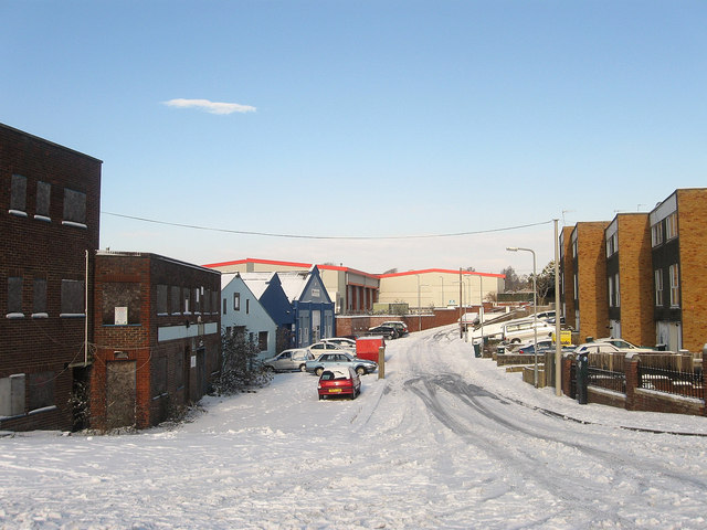
Image: © Simon Carey Taken: 7 Jan 2010
Just over a century ago this was a farm track that served Goldstone Farm and Goldstone House. The farm was given up in the 1920s and the land sold for development. By then the Goldstone Ground had been constructed which was home to Brighton & Hove Albion until 1997 when a carpetbagging chairman sold the ground for personal gain. The site is now occupied by the retail warehouses in the distance. The houses on the right were built in the 1970s on the site of an old agricultural labourers cottage which had stood within the grounds of Goldstone House. The lane now connects Newtown Road with Old Shoreham Road, the A270.
Images are licensed for reuse under creativecommons.org/licenses/by-sa/2.0
Image Location
Latitude
50.837248
Longitude
-0.173619