Frosty field above Waterley Bottom
Introduction
The photograph on this page of Frosty field above Waterley Bottom by Derek Harper as part of the Geograph project.
The Geograph project started in 2005 with the aim of publishing, organising and preserving representative images for every square kilometre of Great Britain, Ireland and the Isle of Man.

There are currently over 7.5m images from over 14,400 individuals and you can help contribute to the project by visiting https://www.geograph.org.uk
Frosty field above Waterley Bottom
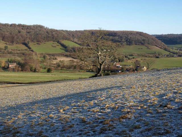
Image: © Derek Harper Taken: 2 Jan 2010
A heavy frost remains as the sun hardly reaches this northeast-facing slope. Footpath CNN/33/1 crosses this field. The house on the left near Pitt Court, the slopes beyond it, and the further houses on the right (at Smart's Green) are all in Image; Sandfield Farm (behind the tree) is in Image
Images are licensed for reuse under creativecommons.org/licenses/by-sa/2.0
Image Location


Leaflet Map data © OpenStreetMap
Latitude
51.661312
Longitude
-2.365721