Basingstoke Canal waterside homes
Introduction
The photograph on this page of Basingstoke Canal waterside homes by dinglefoot as part of the Geograph project.
The Geograph project started in 2005 with the aim of publishing, organising and preserving representative images for every square kilometre of Great Britain, Ireland and the Isle of Man.

There are currently over 7.5m images from over 14,400 individuals and you can help contribute to the project by visiting https://www.geograph.org.uk
Basingstoke Canal waterside homes
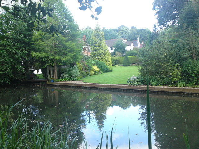
Image: © dinglefoot Taken: 3 Jul 2009
On this section of canal between Ash road bridge and the Swan Public House,there are many waterside properties, with beautiful gardens and moorings.
Images are licensed for reuse under creativecommons.org/licenses/by-sa/2.0
Image Location
Latitude
51.261076
Longitude
-0.721571