Todlaw Road, Duns
Introduction
The photograph on this page of Todlaw Road, Duns by Steven Oliver as part of the Geograph project.
The Geograph project started in 2005 with the aim of publishing, organising and preserving representative images for every square kilometre of Great Britain, Ireland and the Isle of Man.

There are currently over 7.5m images from over 14,400 individuals and you can help contribute to the project by visiting https://www.geograph.org.uk
Todlaw Road, Duns
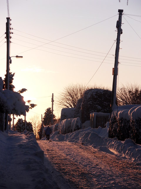
Image: © Steven Oliver Taken: 7 Jan 2010
This residential cul-de-sac took on the appearance of a rural lane during the heavy snowfalls in January 2010.
Images are licensed for reuse under creativecommons.org/licenses/by-sa/2.0
Image Location
Latitude
55.773547
Longitude
-2.341417