Bournemouth Gardens: red bridge and overlooking flats
Introduction
The photograph on this page of Bournemouth Gardens: red bridge and overlooking flats by Chris Downer as part of the Geograph project.
The Geograph project started in 2005 with the aim of publishing, organising and preserving representative images for every square kilometre of Great Britain, Ireland and the Isle of Man.

There are currently over 7.5m images from over 14,400 individuals and you can help contribute to the project by visiting https://www.geograph.org.uk
Bournemouth Gardens: red bridge and overlooking flats
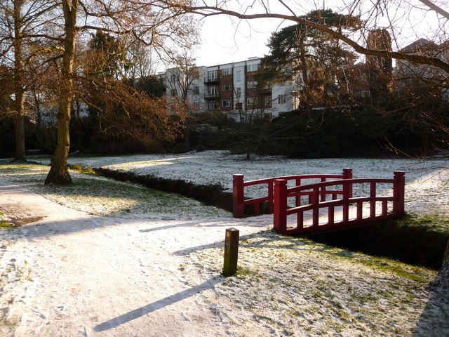
Image: © Chris Downer Taken: 7 Jan 2010
Many of the houses and flats in Surrey Road, abutting the Gardens to the south – and likewise in Branksome Wood Road, to the north – have accesses directly onto the Gardens. Here, we see some such flats beyond this bridge: Image
Images are licensed for reuse under creativecommons.org/licenses/by-sa/2.0
Image Location


Leaflet Map data © OpenStreetMap
Latitude
50.724875
Longitude
-1.894686