Wotton Hill
Introduction
The photograph on this page of Wotton Hill by Derek Harper as part of the Geograph project.
The Geograph project started in 2005 with the aim of publishing, organising and preserving representative images for every square kilometre of Great Britain, Ireland and the Isle of Man.

There are currently over 7.5m images from over 14,400 individuals and you can help contribute to the project by visiting https://www.geograph.org.uk
Wotton Hill
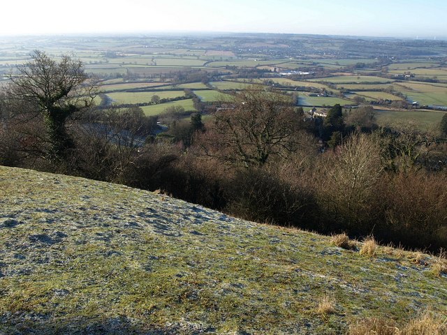
Image: © Derek Harper Taken: 2 Jan 2010
From the frosty grassland close to the memorial trees (see Image), the view extends across Southern Gloucestershire. Below is Bradley Green, in Image
Images are licensed for reuse under creativecommons.org/licenses/by-sa/2.0
Image Location
Latitude
51.641729
Longitude
-2.359783