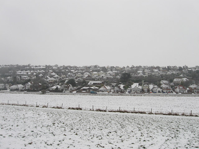
Ovingdean
Introduction
The photograph on this page of Ovingdean by Simon Carey as part of the Geograph project.
The Geograph project started in 2005 with the aim of publishing, organising and preserving representative images for every square kilometre of Great Britain, Ireland and the Isle of Man.
There are currently over 7.5m images from over 14,400 individuals and you can help contribute to the project by visiting https://www.geograph.org.uk

Image: © Simon Carey Taken: 6 Jan 2010
The modern part of the village as viewed from the eastern slope of Cattle Hill in almost monochrome due to the falling snow. The old centre of the village to the north is based around the 11th century church and continued that way until the 20th century when the land was sold from the last lord of the manor to pay off accrued gambling debts to Brighton corporation. Initially they undertook little building but shacks began to spring up along the ridge of what was known as Long Hill and this continued up to 1939. After the way the council took control of building removing many of the shacks and replacing them with modern buildings with utilities. Consequently the whole western slope of Long Hill has now been built upon.

