Greenways
Introduction
The photograph on this page of Greenways by Simon Carey as part of the Geograph project.
The Geograph project started in 2005 with the aim of publishing, organising and preserving representative images for every square kilometre of Great Britain, Ireland and the Isle of Man.

There are currently over 7.5m images from over 14,400 individuals and you can help contribute to the project by visiting https://www.geograph.org.uk
Greenways
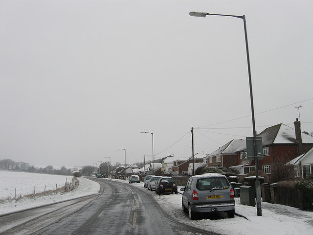
Image: © Simon Carey Taken: 6 Jan 2010
An ancient track now the principal route south out of Ovingdean to the A259. Prior to the existence of that road the route led to Ovingdean Gap a small dip in the cliffs lower enough to enable access to the beach below.
Images are licensed for reuse under creativecommons.org/licenses/by-sa/2.0
Image Location
Latitude
50.812047
Longitude
-0.07183