Hoadley's Corner
Introduction
The photograph on this page of Hoadley's Corner by Curtis Bateman as part of the Geograph project.
The Geograph project started in 2005 with the aim of publishing, organising and preserving representative images for every square kilometre of Great Britain, Ireland and the Isle of Man.

There are currently over 7.5m images from over 14,400 individuals and you can help contribute to the project by visiting https://www.geograph.org.uk
Hoadley's Corner
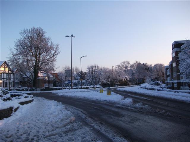
Image: © Curtis Bateman Taken: 7 Jan 2010
This roundabout is at Hoadley's Corner, a junction so named because of a department store that used to occupy the building to the left of this image. It is now more commonly known by locals as "the top of the town". Taken from Keymer Road (B2113) to Burgess Hill town centre. First exit is Junction Road, second exit to the immediate left of the mock tudor building is Silverdale Road, third exit is Keymer Road (B2113) towards Keymer.
Images are licensed for reuse under creativecommons.org/licenses/by-sa/2.0
Image Location
Latitude
50.952869
Longitude
-0.126092