Whipping Post House
Introduction
The photograph on this page of Whipping Post House by Simon Carey as part of the Geograph project.
The Geograph project started in 2005 with the aim of publishing, organising and preserving representative images for every square kilometre of Great Britain, Ireland and the Isle of Man.

There are currently over 7.5m images from over 14,400 individuals and you can help contribute to the project by visiting https://www.geograph.org.uk
Whipping Post House
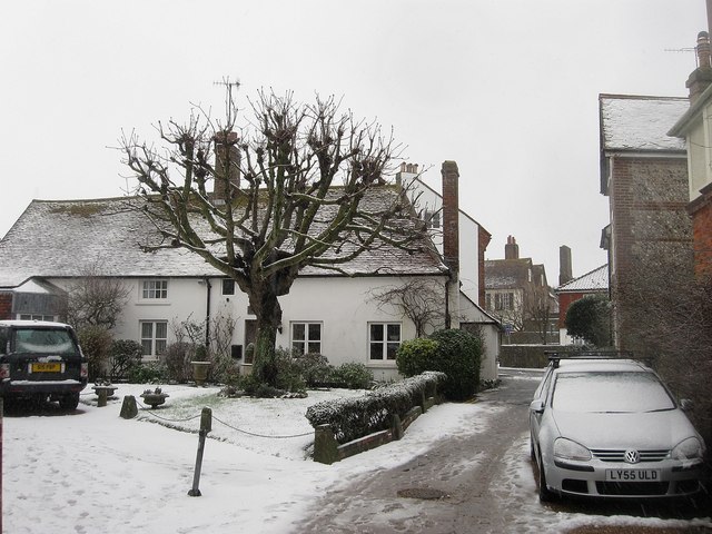
Image: © Simon Carey Taken: 6 Jan 2010
Located in Whipping Post Lane a small unmade road that runs between Vicarage Lane in view and High Street which are both part of the B2123 one way system around the village green. The house dates from the 16th century and gets its name from the village whipping post that used to be located where the tree is today. The village stocks and ducking stool were also located here.
Images are licensed for reuse under creativecommons.org/licenses/by-sa/2.0
Image Location
Latitude
50.80562
Longitude
-0.058469