Houses at Heronden View, Eastry, from byway
Introduction
The photograph on this page of Houses at Heronden View, Eastry, from byway by Nick Smith as part of the Geograph project.
The Geograph project started in 2005 with the aim of publishing, organising and preserving representative images for every square kilometre of Great Britain, Ireland and the Isle of Man.

There are currently over 7.5m images from over 14,400 individuals and you can help contribute to the project by visiting https://www.geograph.org.uk
Houses at Heronden View, Eastry, from byway
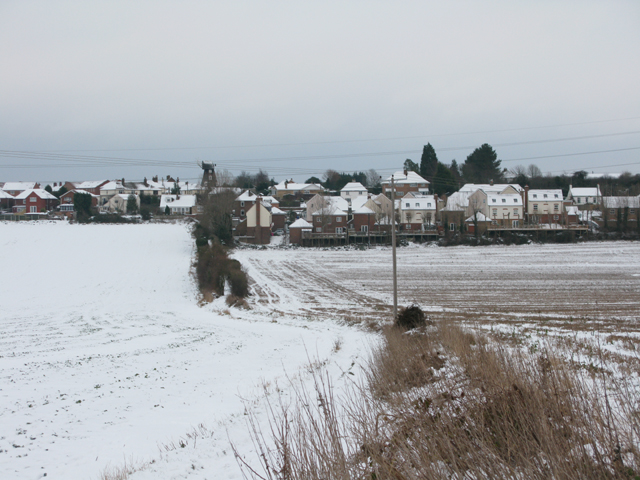
Image: © Nick Smith Taken: 7 Jan 2010
The byway follows the field boundary and hedgeline and joins the road at the junctions of Heronden Road, Mill Lane and Gore Lane.
Images are licensed for reuse under creativecommons.org/licenses/by-sa/2.0
Image Location
Latitude
51.243913
Longitude
1.297001