Phillip Street, Newport
Introduction
The photograph on this page of Phillip Street, Newport by Jaggery as part of the Geograph project.
The Geograph project started in 2005 with the aim of publishing, organising and preserving representative images for every square kilometre of Great Britain, Ireland and the Isle of Man.

There are currently over 7.5m images from over 14,400 individuals and you can help contribute to the project by visiting https://www.geograph.org.uk
Phillip Street, Newport
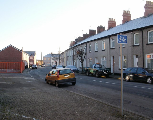
Image: © Jaggery Taken: 4 Jan 2010
Viewed from the corner of Wharf Road. There is a contrast of housing on Phillip Street. On the right is terraced housing, probably late Victorian; on the left are modern houses http://www.geograph.org.uk/photo/1652531 , and beyond http://www.geograph.org.uk/photo/1652541 modern apartments.
Images are licensed for reuse under creativecommons.org/licenses/by-sa/2.0
Image Location
Latitude
51.587669
Longitude
-2.978579