Red House Farm
Introduction
The photograph on this page of Red House Farm by Rob Farrow as part of the Geograph project.
The Geograph project started in 2005 with the aim of publishing, organising and preserving representative images for every square kilometre of Great Britain, Ireland and the Isle of Man.

There are currently over 7.5m images from over 14,400 individuals and you can help contribute to the project by visiting https://www.geograph.org.uk
Red House Farm
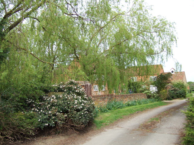
Image: © Rob Farrow Taken: 6 May 2006
I was unable at first to identify this house just off Crendon Road from the maps - but looking at magic.defra.gov.uk I discovered its name. See the detailed map here http://magic.defra.gov.uk/website/magic/viewer.htm?startTopic=maggb&xygridref=468100,207800&startScale=5000
Images are licensed for reuse under creativecommons.org/licenses/by-sa/2.0
Image Location


Leaflet Map data © OpenStreetMap
Latitude
51.76591
Longitude
-1.013709