St Leonard's Chapel, Blandford
Introduction
The photograph on this page of St Leonard's Chapel, Blandford by Derek Harper as part of the Geograph project.
The Geograph project started in 2005 with the aim of publishing, organising and preserving representative images for every square kilometre of Great Britain, Ireland and the Isle of Man.

There are currently over 7.5m images from over 14,400 individuals and you can help contribute to the project by visiting https://www.geograph.org.uk
St Leonard's Chapel, Blandford
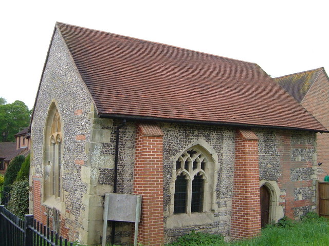
Image: © Derek Harper Taken: 6 May 2006
Blandford's only medieval building, this has its origins as a C13 leper hospital. It was restored in 1996 after being used as a barn.
Images are licensed for reuse under creativecommons.org/licenses/by-sa/2.0
Image Location
Latitude
50.857907
Longitude
-2.15623