Near Holywell
Introduction
The photograph on this page of Near Holywell by Derek Harper as part of the Geograph project.
The Geograph project started in 2005 with the aim of publishing, organising and preserving representative images for every square kilometre of Great Britain, Ireland and the Isle of Man.

There are currently over 7.5m images from over 14,400 individuals and you can help contribute to the project by visiting https://www.geograph.org.uk
Near Holywell
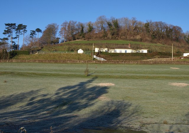
Image: © Derek Harper Taken: 2 Jan 2010
A view from the Cotswold Way across a frosty field to a house on the B4058 (Coombe Road) northeast of Wotton-Under-Edge.
Images are licensed for reuse under creativecommons.org/licenses/by-sa/2.0
Image Location
Latitude
51.641413
Longitude
-2.34533