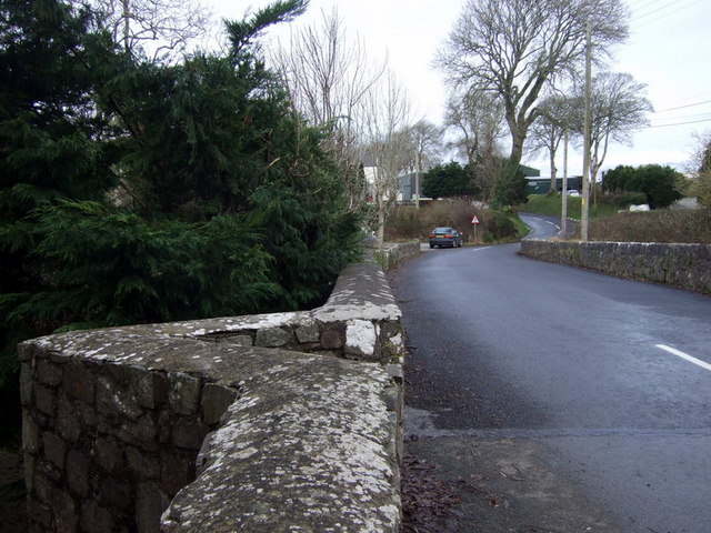
Crowhill Bridge
Introduction
The photograph on this page of Crowhill Bridge by Natasha Ceridwen de Chroustchoff as part of the Geograph project.
The Geograph project started in 2005 with the aim of publishing, organising and preserving representative images for every square kilometre of Great Britain, Ireland and the Isle of Man.
There are currently over 7.5m images from over 14,400 individuals and you can help contribute to the project by visiting https://www.geograph.org.uk

Image: © Natasha Ceridwen de Chroustchoff Taken: 31 Dec 2009
Spanning the Pelcombe Brook shortly before it joins the Cleddau Wen to the east. Crowhill is hamlet lying between Haverfordwest and Camrose. There was once a two-roomed pub here, called The Fisherman's Arms, close to the bridge and the stream, popular, as might be inferred, with anglers. The bridge is clearly an old one and possesses this sharply angled notch on one side.

