Downland near Red House Farm
Introduction
The photograph on this page of Downland near Red House Farm by John Baker as part of the Geograph project.
The Geograph project started in 2005 with the aim of publishing, organising and preserving representative images for every square kilometre of Great Britain, Ireland and the Isle of Man.

There are currently over 7.5m images from over 14,400 individuals and you can help contribute to the project by visiting https://www.geograph.org.uk
Downland near Red House Farm
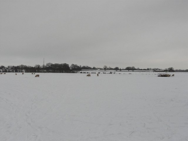
Image: © John Baker Taken: 7 Jan 2010
Red House Farm is on the right hand side of the view. The radio mast on the left hand side is near Boyington Court. The average depth of the snow was 4".
Images are licensed for reuse under creativecommons.org/licenses/by-sa/2.0
Image Location
Latitude
51.13889
Longitude
1.162109