Cotswold scarp at Wortley
Introduction
The photograph on this page of Cotswold scarp at Wortley by Derek Harper as part of the Geograph project.
The Geograph project started in 2005 with the aim of publishing, organising and preserving representative images for every square kilometre of Great Britain, Ireland and the Isle of Man.

There are currently over 7.5m images from over 14,400 individuals and you can help contribute to the project by visiting https://www.geograph.org.uk
Cotswold scarp at Wortley
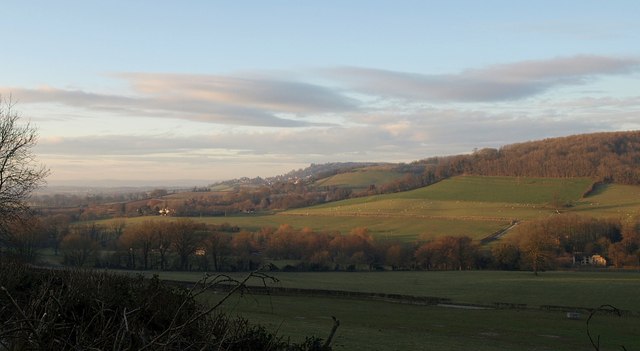
Image: © Derek Harper Taken: 1 Jan 2010
Seen across the mouth of Ozleworth Bottom from the road between Alderley and Tresham as it ascends Winner Hill. The line of trees climbing the scarp in the centre marks the Cotswold Way on Wortley Hill.
Images are licensed for reuse under creativecommons.org/licenses/by-sa/2.0
Image Location
Latitude
51.621837
Longitude
-2.336514