Malpas Street, Old Cwmbran
Introduction
The photograph on this page of Malpas Street, Old Cwmbran by Jaggery as part of the Geograph project.
The Geograph project started in 2005 with the aim of publishing, organising and preserving representative images for every square kilometre of Great Britain, Ireland and the Isle of Man.

There are currently over 7.5m images from over 14,400 individuals and you can help contribute to the project by visiting https://www.geograph.org.uk
Malpas Street, Old Cwmbran
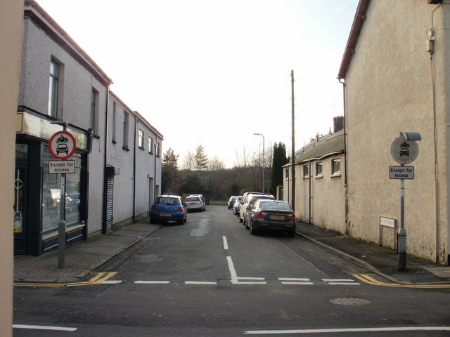
Image: © Jaggery Taken: 31 Dec 2009
Viewed from Victoria Street. The far end of Malpas Street is adjacent to Cwmbran Drive (A4051), formerly railway tracks. The Vitriol Works, locally known as the 'Chem', manufactured sulphuric acid at premises located at the end of Malpas Street. The works, owned by Cwmbran Chemical Co., opened in the 1860s. It became part of ICI in the 1920s but closed down around 1930. The buildings were demolished in the late 1950s.
Images are licensed for reuse under creativecommons.org/licenses/by-sa/2.0
Image Location
Latitude
51.646633
Longitude
-3.023207