Victoria St
Introduction
The photograph on this page of Victoria St by Nigel Mykura as part of the Geograph project.
The Geograph project started in 2005 with the aim of publishing, organising and preserving representative images for every square kilometre of Great Britain, Ireland and the Isle of Man.

There are currently over 7.5m images from over 14,400 individuals and you can help contribute to the project by visiting https://www.geograph.org.uk
Victoria St
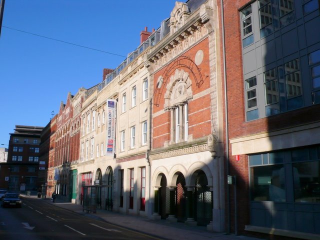
Image: © Nigel Mykura Taken: 1 Jan 2010
These impressive brick and stone buildings are on the east side of Victoria St in the centre of Bristol.
Images are licensed for reuse under creativecommons.org/licenses/by-sa/2.0
Image Location


Leaflet Map data © OpenStreetMap
Latitude
51.453325
Longitude
-2.590003