Culvert, River Tyne
Introduction
The photograph on this page of Culvert, River Tyne by wfmillar as part of the Geograph project.
The Geograph project started in 2005 with the aim of publishing, organising and preserving representative images for every square kilometre of Great Britain, Ireland and the Isle of Man.

There are currently over 7.5m images from over 14,400 individuals and you can help contribute to the project by visiting https://www.geograph.org.uk
Culvert, River Tyne
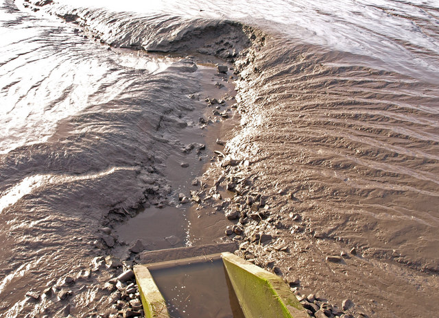
Image: © wfmillar Taken: 4 Jan 2010
Cutting through the mud on the north bank. Near Lemington Gut.
Images are licensed for reuse under creativecommons.org/licenses/by-sa/2.0
Image Location


Leaflet Map data © OpenStreetMap
Latitude
54.971689
Longitude
-1.70051