Brickfield pond
Introduction
The photograph on this page of Brickfield pond by CBL as part of the Geograph project.
The Geograph project started in 2005 with the aim of publishing, organising and preserving representative images for every square kilometre of Great Britain, Ireland and the Isle of Man.

There are currently over 7.5m images from over 14,400 individuals and you can help contribute to the project by visiting https://www.geograph.org.uk
Brickfield pond
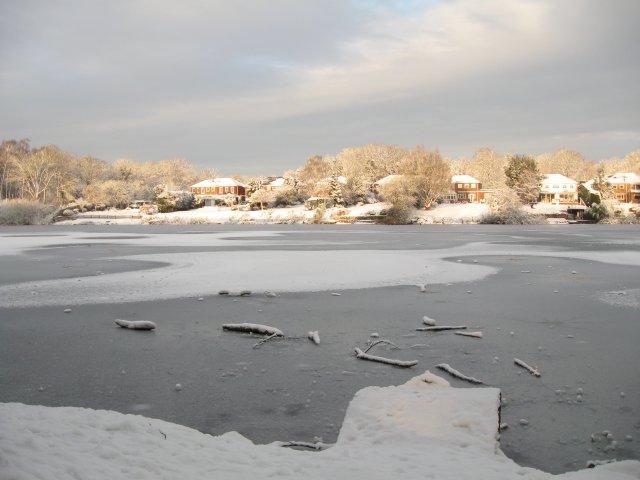
Image: © CBL Taken: 7 Jan 2010
The pond was created by clay extraction for a brick works.
Images are licensed for reuse under creativecommons.org/licenses/by-sa/2.0
Image Location
Latitude
51.328742
Longitude
-0.376644