Silage bales and hay barn north of the Downs Link path
Introduction
The photograph on this page of Silage bales and hay barn north of the Downs Link path by Dave Spicer as part of the Geograph project.
The Geograph project started in 2005 with the aim of publishing, organising and preserving representative images for every square kilometre of Great Britain, Ireland and the Isle of Man.

There are currently over 7.5m images from over 14,400 individuals and you can help contribute to the project by visiting https://www.geograph.org.uk
Silage bales and hay barn north of the Downs Link path
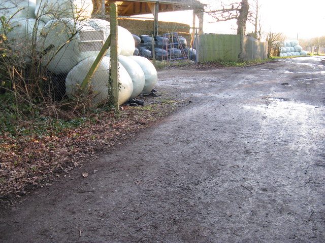
Image: © Dave Spicer Taken: 2 Jan 2010
This barn area and surrounding field has a security barrier around and is WS CC property
Images are licensed for reuse under creativecommons.org/licenses/by-sa/2.0
Image Location
Latitude
51.056319
Longitude
-0.374202