Orangefield Lane, Belfast
Introduction
The photograph on this page of Orangefield Lane, Belfast by Albert Bridge as part of the Geograph project.
The Geograph project started in 2005 with the aim of publishing, organising and preserving representative images for every square kilometre of Great Britain, Ireland and the Isle of Man.

There are currently over 7.5m images from over 14,400 individuals and you can help contribute to the project by visiting https://www.geograph.org.uk
Orangefield Lane, Belfast
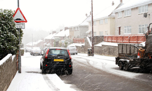
Image: © Albert Bridge Taken: 6 Jan 2010
The view along Orangefield Lane, from the Grand Parade end, during the worst of today’s snow.
Images are licensed for reuse under creativecommons.org/licenses/by-sa/2.0
Image Location
Latitude
54.590616
Longitude
-5.880129