Footpath, Southgate, London N14
Introduction
The photograph on this page of Footpath, Southgate, London N14 by Christine Matthews as part of the Geograph project.
The Geograph project started in 2005 with the aim of publishing, organising and preserving representative images for every square kilometre of Great Britain, Ireland and the Isle of Man.

There are currently over 7.5m images from over 14,400 individuals and you can help contribute to the project by visiting https://www.geograph.org.uk
Footpath, Southgate, London N14
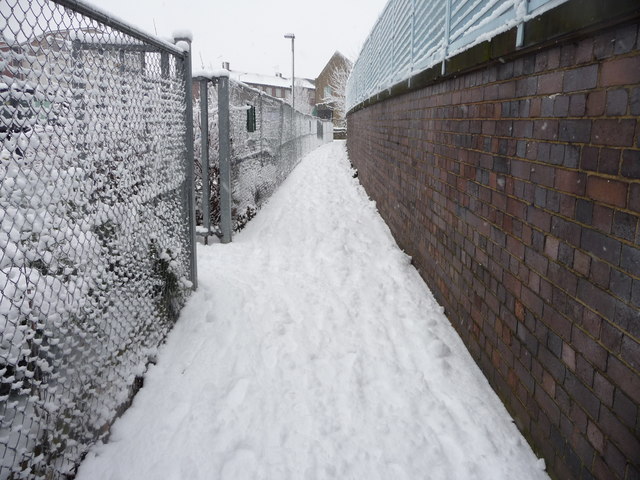
Image: © Christine Matthews Taken: 6 Jan 2010
Footpath which runs between the Marks and Spencer car park and the boundary wall to the Piccadilly Line, leading from the footbridge over the Piccadilly Line to Winchmore Hill Road.
Images are licensed for reuse under creativecommons.org/licenses/by-sa/2.0
Image Location
Latitude
51.633971
Longitude
-0.125176