Former Railway Bridge, Buckingham
Introduction
The photograph on this page of Former Railway Bridge, Buckingham by Colin Smith as part of the Geograph project.
The Geograph project started in 2005 with the aim of publishing, organising and preserving representative images for every square kilometre of Great Britain, Ireland and the Isle of Man.

There are currently over 7.5m images from over 14,400 individuals and you can help contribute to the project by visiting https://www.geograph.org.uk
Former Railway Bridge, Buckingham
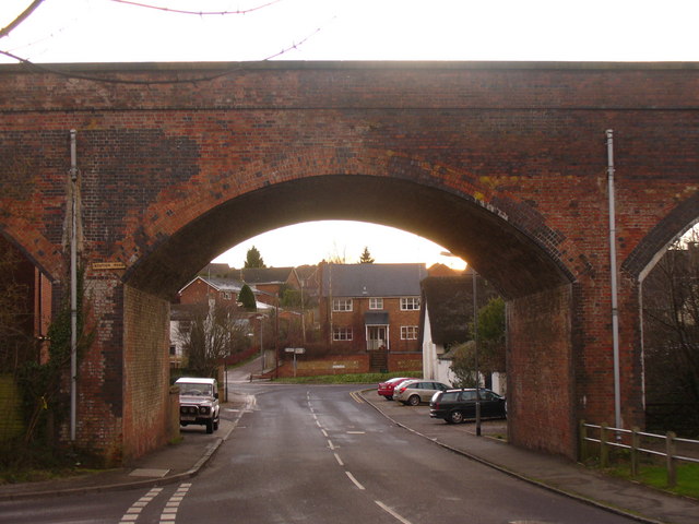
Image: © Colin Smith Taken: 2 Jan 2010
Looking south west from Lord's Bridge, through the arch to modern housing. A path now follows the former trackbed. http://www.buckingham-tc.gov.uk/
Images are licensed for reuse under creativecommons.org/licenses/by-sa/2.0
Image Location
Latitude
51.994733
Longitude
-0.992086