Farmland off Springwell Lane, Whetstone
Introduction
The photograph on this page of Farmland off Springwell Lane, Whetstone by Kate Jewell as part of the Geograph project.
The Geograph project started in 2005 with the aim of publishing, organising and preserving representative images for every square kilometre of Great Britain, Ireland and the Isle of Man.

There are currently over 7.5m images from over 14,400 individuals and you can help contribute to the project by visiting https://www.geograph.org.uk
Farmland off Springwell Lane, Whetstone
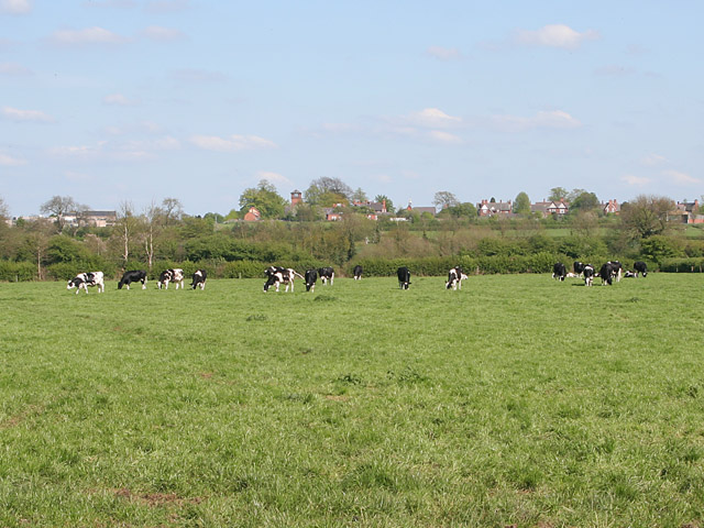
Image: © Kate Jewell Taken: 5 May 2006
Houses in Wright Close and the tower of the former Cottage Homes at Countesthorpe in Image on the horizon.
Images are licensed for reuse under creativecommons.org/licenses/by-sa/2.0
Image Location
Latitude
52.555825
Longitude
-1.176486