The Tyrells Health Centre, Benfleet
Introduction
The photograph on this page of The Tyrells Health Centre, Benfleet by John Rostron as part of the Geograph project.
The Geograph project started in 2005 with the aim of publishing, organising and preserving representative images for every square kilometre of Great Britain, Ireland and the Isle of Man.

There are currently over 7.5m images from over 14,400 individuals and you can help contribute to the project by visiting https://www.geograph.org.uk
The Tyrells Health Centre, Benfleet
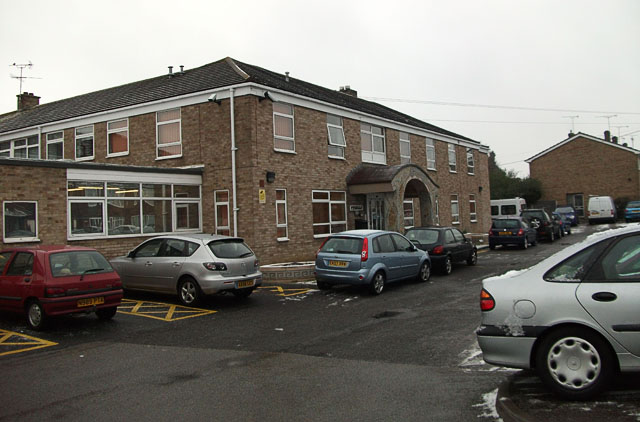
Image: © John Rostron Taken: 6 Jan 2010
The Tyrells is a one-shop facility offering hospital out-patient services (blood tests etc) and a number of other health services.
Images are licensed for reuse under creativecommons.org/licenses/by-sa/2.0
Image Location
Latitude
51.570722
Longitude
0.553218