Ozleworth Park
Introduction
The photograph on this page of Ozleworth Park by Derek Harper as part of the Geograph project.
The Geograph project started in 2005 with the aim of publishing, organising and preserving representative images for every square kilometre of Great Britain, Ireland and the Isle of Man.

There are currently over 7.5m images from over 14,400 individuals and you can help contribute to the project by visiting https://www.geograph.org.uk
Ozleworth Park
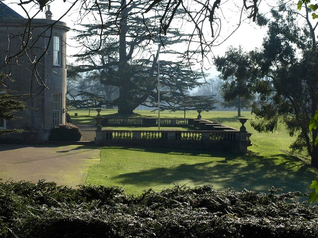
Image: © Derek Harper Taken: 1 Jan 2010
The bow at the west end of the house http://www.imagesofengland.org.uk/Details/Default.aspx?id=425835&mode=adv and a terrace overlooking the park, seen from bridleway NOZ/2/2.
Images are licensed for reuse under creativecommons.org/licenses/by-sa/2.0
Image Location
Latitude
51.638031
Longitude
-2.300076