
John O' Gaunt's Castle
Introduction
The photograph on this page of John O' Gaunt's Castle by Mick Melvin as part of the Geograph project.
The Geograph project started in 2005 with the aim of publishing, organising and preserving representative images for every square kilometre of Great Britain, Ireland and the Isle of Man.

There are currently over 7.5m images from over 14,400 individuals and you can help contribute to the project by visiting https://www.geograph.org.uk
John O' Gaunt's Castle
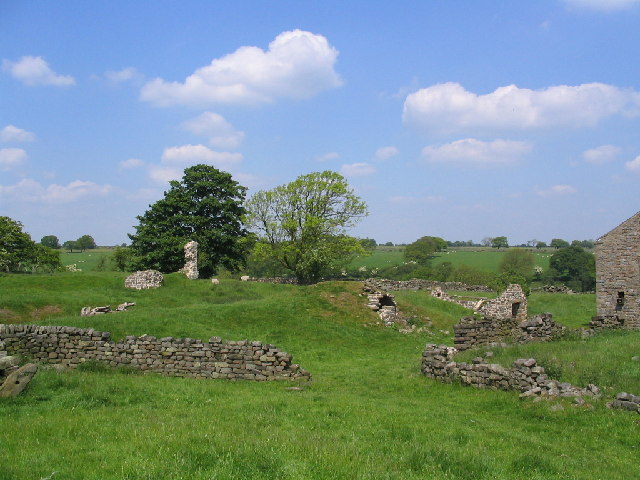
Image: © Mick Melvin Taken: 8 Jun 2005
The Castle was considered to be the hunting lodge of John O'Gaunt, Duke of Lancaster, who was Lord of the Manor of Knaresborough for twenty-eight years until 1399. Strongly sited on the end of a spur at Haverah Park, is a ditched platform 35mx30m which had a curtain wall and a gatehouse, with a bridge over the moat. Within are buried footings of a central tower, 15m square, and 1 wall which probably formed part of a range. It was situated within the royal lordship of Knaresborough. Edward 3rd had building works in progress here in 1334. In 1372 he granted it, along with Knaresborough to his son John of Gaunt, from where it gained its name.
Images are licensed for reuse under creativecommons.org/licenses/by-sa/2.0
Image Location

Latitude
53.986107
Longitude
-1.673611