Vicarage Lane, Eaton
Introduction
The photograph on this page of Vicarage Lane, Eaton by Kate Jewell as part of the Geograph project.
The Geograph project started in 2005 with the aim of publishing, organising and preserving representative images for every square kilometre of Great Britain, Ireland and the Isle of Man.

There are currently over 7.5m images from over 14,400 individuals and you can help contribute to the project by visiting https://www.geograph.org.uk
Vicarage Lane, Eaton
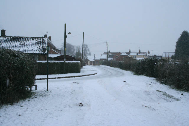
Image: © Kate Jewell Taken: 5 Jan 2010
Allotments to the right. Look at the map to see how Vicarage Lane curves round the north of the village from Main Street in the west to rejoin Main Street in the east.
Images are licensed for reuse under creativecommons.org/licenses/by-sa/2.0
Image Location
Latitude
52.85318
Longitude
-0.821138