View towards Kinpurney Hill from north of Newtyle
Introduction
The photograph on this page of View towards Kinpurney Hill from north of Newtyle by Mike Pennington as part of the Geograph project.
The Geograph project started in 2005 with the aim of publishing, organising and preserving representative images for every square kilometre of Great Britain, Ireland and the Isle of Man.

There are currently over 7.5m images from over 14,400 individuals and you can help contribute to the project by visiting https://www.geograph.org.uk
View towards Kinpurney Hill from north of Newtyle
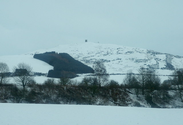
Image: © Mike Pennington Taken: 30 Dec 2009
The embankment once carried a branch line of the railway that served Alyth and Blairgowrie, but it was closed in 1965.
Images are licensed for reuse under creativecommons.org/licenses/by-sa/2.0
Image Location
Latitude
56.566172
Longitude
-3.148658