Entering Meigle
Introduction
The photograph on this page of Entering Meigle by Mike Pennington as part of the Geograph project.
The Geograph project started in 2005 with the aim of publishing, organising and preserving representative images for every square kilometre of Great Britain, Ireland and the Isle of Man.

There are currently over 7.5m images from over 14,400 individuals and you can help contribute to the project by visiting https://www.geograph.org.uk
Entering Meigle
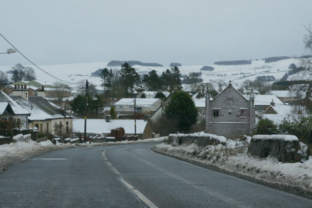
Image: © Mike Pennington Taken: 30 Dec 2009
Approaching the village of Meigle from the west, from the Coupar Angus road, although Meigle is also on the main route from Blairgowrie and Alyth to Dundee.
Images are licensed for reuse under creativecommons.org/licenses/by-sa/2.0
Image Location
Latitude
56.589485
Longitude
-3.163369