Stourport War Memorial Park - tennis courts
Introduction
The photograph on this page of Stourport War Memorial Park - tennis courts by P L Chadwick as part of the Geograph project.
The Geograph project started in 2005 with the aim of publishing, organising and preserving representative images for every square kilometre of Great Britain, Ireland and the Isle of Man.

There are currently over 7.5m images from over 14,400 individuals and you can help contribute to the project by visiting https://www.geograph.org.uk
Stourport War Memorial Park - tennis courts
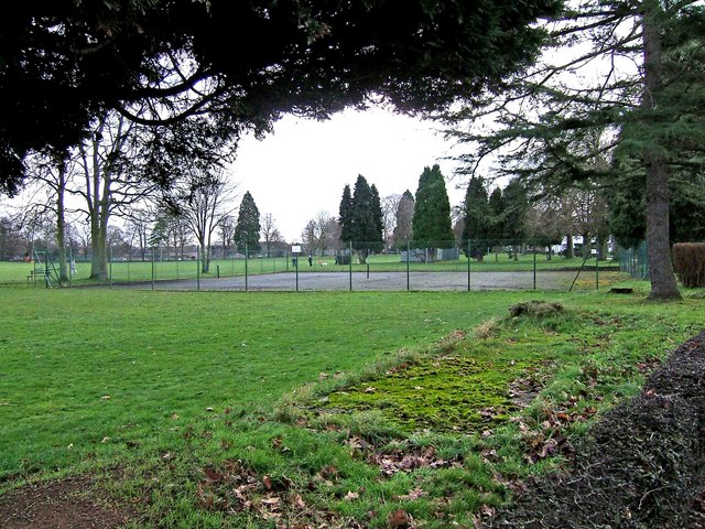
Image: © P L Chadwick Taken: 31 Dec 2009
Photographed from Lower Lickhill Road. Another view:- Image Update January 2019: The tennis courts have gone. Work began in late 2017 to install play equipment on part of the site where the courts were. The rest of the site has been grassed over.
Images are licensed for reuse under creativecommons.org/licenses/by-sa/2.0
Image Location
Latitude
52.344104
Longitude
-2.287663