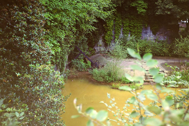
Worsley Delph - left hand entrance
Introduction
The photograph on this page of Worsley Delph - left hand entrance by Robin Webster as part of the Geograph project.
The Geograph project started in 2005 with the aim of publishing, organising and preserving representative images for every square kilometre of Great Britain, Ireland and the Isle of Man.
There are currently over 7.5m images from over 14,400 individuals and you can help contribute to the project by visiting https://www.geograph.org.uk

Image: © Robin Webster Taken: 18 Sep 1990
One of the two canal entrances into the coal mines is behind the crane-like structure, actually a sluice for assisting boats out of the tunnel. The red water comes from iron strata in the mines. It was possible at one time to navigate continuously into the mine for 10,900 yards (9960 m) before reaching a dead-end, easily eclipsing double-ended tunnels on ordinary British canals. There were many branches and also four other navigable levels, totalling over 51 miles (82 km), although not all open at once. The two entrances here formed a "dual carriageway" to ease the heavy boat traffic.

