Greenway at Burslem
Introduction
The photograph on this page of Greenway at Burslem by Steve Lewin as part of the Geograph project.
The Geograph project started in 2005 with the aim of publishing, organising and preserving representative images for every square kilometre of Great Britain, Ireland and the Isle of Man.

There are currently over 7.5m images from over 14,400 individuals and you can help contribute to the project by visiting https://www.geograph.org.uk
Greenway at Burslem
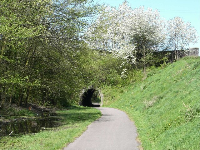
Image: © Steve Lewin Taken: 5 May 2006
Stoke-on-Trent had many miles of railways connecting coal mines, steel works and potteries. Many of them have now been converted to pleasant walks, usually called Greenways. This one goes from Burslem to Tunstall and on to Kidsgrove.
Images are licensed for reuse under creativecommons.org/licenses/by-sa/2.0
Image Location
Latitude
53.049798
Longitude
-2.196871