Stourport War Memorial Park - looking towards Park Avenue
Introduction
The photograph on this page of Stourport War Memorial Park - looking towards Park Avenue by P L Chadwick as part of the Geograph project.
The Geograph project started in 2005 with the aim of publishing, organising and preserving representative images for every square kilometre of Great Britain, Ireland and the Isle of Man.

There are currently over 7.5m images from over 14,400 individuals and you can help contribute to the project by visiting https://www.geograph.org.uk
Stourport War Memorial Park - looking towards Park Avenue
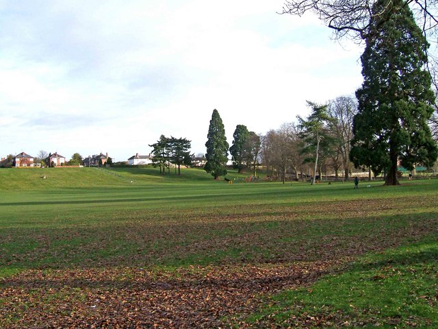
Image: © P L Chadwick Taken: 31 Dec 2009
Most of the park consists of grassed areas but there are various facilities here, including a children's recreation area, which is in the far distance, to the right. It is close by Park Avenue, where there is provision for car parking.
Images are licensed for reuse under creativecommons.org/licenses/by-sa/2.0
Image Location
Latitude
52.344024
Longitude
-2.283699