Trig Point overlooking Horton Valley
Introduction
The photograph on this page of Trig Point overlooking Horton Valley by Neil Lewin as part of the Geograph project.
The Geograph project started in 2005 with the aim of publishing, organising and preserving representative images for every square kilometre of Great Britain, Ireland and the Isle of Man.

There are currently over 7.5m images from over 14,400 individuals and you can help contribute to the project by visiting https://www.geograph.org.uk
Trig Point overlooking Horton Valley
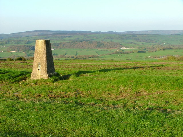
Image: © Neil Lewin Taken: 5 May 2006
The woodland in the distance is surrounding Rudyard Reservoir (SJ9459)
Images are licensed for reuse under creativecommons.org/licenses/by-sa/2.0
Image Location
Latitude
53.130793
Longitude
-2.128492