Footpath beside Church Milton Estate
Introduction
The photograph on this page of Footpath beside Church Milton Estate by David Anstiss as part of the Geograph project.
The Geograph project started in 2005 with the aim of publishing, organising and preserving representative images for every square kilometre of Great Britain, Ireland and the Isle of Man.

There are currently over 7.5m images from over 14,400 individuals and you can help contribute to the project by visiting https://www.geograph.org.uk
Footpath beside Church Milton Estate
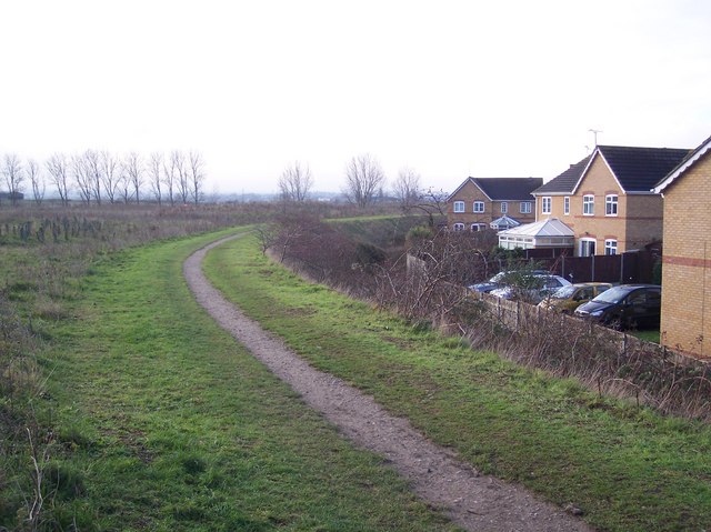
Image: © David Anstiss Taken: 25 Dec 2009
This path leads on a earthwork embankment, this protects the housing from the flooding of Church Marshes (on the left) and the Milton Creek. The path leads from Recreation Way to Miller Close. Church Marshes is also a new country park being developed over time.
Images are licensed for reuse under creativecommons.org/licenses/by-sa/2.0
Image Location
Latitude
51.357356
Longitude
0.749621